Coast & Islands
In the mangrove delta the tide is the timetable and nothing else is
Boat travel through the Sundarbans and similar tidal forests is governed by water depth in the creeks, which rises and falls twice a day and decides where a vessel can go.
By Pranav Kulkarni3 min read
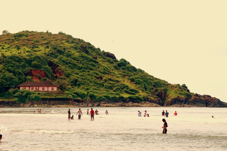
A tidal forest is neither land nor water for most of the day
The delta where the Ganga and Brahmaputra systems meet the Bay of Bengal is a vast maze of low islands separated by channels, covered in mangrove forest that grows in salt and brackish water. The Indian portion is a protected area of considerable size, and it is reached and travelled almost entirely by boat.
The defining feature is that the boundary between land and water moves twice a day. At high water the channels are broad and the mud banks disappear; at low water the same channels narrow, wide expanses of mud emerge and the mangrove roots that were submerged stand exposed above the surface.
This is not a subtle variation. The tidal range in the delta is substantial, and a creek that a launch travelled comfortably in the morning can be unusable in the afternoon. Everything about visiting the region follows from that single fact.
Boat schedules are set by depth, not by convenience
A larger vessel needs water under it, so the deeper main channels are available for longer while the narrow side creeks are only navigable around high water. Since the side creeks are where the forest is close enough to see properly, the interesting part of a trip is confined to particular hours of particular days.
Operators plan around this as a matter of course, which is why the daily programme in the delta looks arbitrary until you see the tide table behind it. Departures at odd hours, long waits at a jetty and an early start on one day and a late one on the next are all the tide asserting itself.
It also means a fixed-schedule itinerary imposed from outside will not work. Anybody insisting on a departure at a stated hour regardless of water level is either going to be disappointed or is going somewhere less interesting than they think.
The wildlife is real but the sightings are not guaranteed
The delta’s reputation rests on a large predator that is genuinely present and genuinely elusive, in dense forest, on islands, in a habitat where visibility from a boat is limited to the channel edge. Sightings happen and are memorable. They are not what a visit should be planned around.
What is close to certain is everything else: crocodiles on mud banks, a great many birds, monitor lizards, deer at the forest edge, and the mangrove system itself, which is the actual subject. Watchtowers at designated points let visitors get above the channel for a wider view, and they are worth the stop.
Winter is the popular season, with more comfortable weather and better visibility, and the wet months bring heat, humidity and storms. Cyclone risk on this coast belongs to the periods before and after the monsoon, and it can disrupt access at short notice.
Access is regulated, and for good reasons
Entry to the protected core is controlled, with permits, registered boats, designated routes and forest department escorts required in various combinations depending on where you are going and who you are. Foreign nationals face additional requirements in some parts of the region, and the rules are periodically revised.
This is not bureaucracy for its own sake. It is a protected tidal forest bordering an international boundary, with a resident population, a dangerous predator and a habitat that suffers under uncontrolled use. The restrictions are the reason there is still something worth going to see.
Practically, most visitors go through an operator who handles the paperwork, because doing it independently is possible but slow and requires being in the right office in the right town. Current requirements should be confirmed with the forest department or a licensed operator rather than assumed from an older account.
The delta is inhabited, which changes how you should look at it
The islands outside the protected core carry a substantial population living on land protected by earth embankments, farming, fishing and collecting from the forest under licence. That coexistence is the most interesting thing about the region and also the most difficult, since the forest is genuinely hazardous to work in.
Cyclones and storm surges are the recurring threat, and embankment failure floods farmland with salt water that ruins it for years. The delta is also one of the places where sea level and land subsidence are actively studied, and the pressures on it are increasing rather than easing.
A visitor passing through in a launch sees very little of this unless they look for it. Village stays and community-run arrangements exist in several places, and they put the money somewhere useful while giving a much better sense of what living on a tidal island actually involves.
Common questions
What are the chances of seeing a tiger there?
Low on any single trip, and honest operators will say so. The forest is dense, the animals avoid boats and the visible strip is narrow. Go for the mangrove system, the birds and the crocodiles, and treat anything more as an unexpected bonus.
How long a trip does the delta need?
A day trip from the nearest town is possible but spends most of its time in transit on the main channels. Two or three days aboard or in a village gives access to the smaller creeks at the right state of the tide, which is where the difference lies.
Is it safe to walk in the forest?
Walking is restricted to designated points such as watchtowers and enclosed paths, and that restriction exists because the forest holds a large predator and unstable tidal mud. Independent walking is not permitted in the protected areas and should not be attempted anywhere else either.
Editor, Traveology
Pranav writes the explanatory pieces on states, hills, coast & islands and reads the small print so you do not have to.