Coast & Islands
Tidal range varies enormously around India and it decides what a shore looks like
The gulfs of the northwest have some of the largest tides in the country while much of the peninsular coast has modest ones, which changes the beach, the harbour and the walking.
By Nadia Haddad4 min read
Tides are the same force everywhere and different in every bay
The tide-raising force acting on the ocean is broadly similar across a region the size of India, yet the actual rise and fall at the shore differs enormously from one coast to another. The reason is not astronomy but geometry, and specifically the shape of the sea floor and the coastline the tidal wave runs into.
A wide, funnel-shaped gulf that narrows and shallows towards its head concentrates the same volume of water into a smaller cross-section, and the only place for that water to go is up. That is why gulfs of the right shape produce very large tidal ranges while an open coast facing deep water produces modest ones.
India has examples of both. The gulfs of the northwest, where the sea pushes into narrowing embayments, experience among the largest ranges on the Indian coastline. Much of the peninsular coast, facing open water, sees a far smaller daily rise and fall.
A big range makes a shore that moves
Where the tide rises and falls several metres, the position of the water’s edge at low tide may be a long way from where it sits at high tide, particularly on gently sloping ground. Vast expanses of intertidal flat appear and disappear twice a day, and they are mud, sand and creek rather than beach in any recreational sense.
These flats are ecologically important out of all proportion to their appearance, feeding enormous numbers of birds and supporting fisheries. They are also treacherous to walk on, since soft mud, hidden channels and a returning tide moving faster than a person can wade are a genuinely dangerous combination.
Harbours in high-range regions are built around the problem, with locks, deep approach channels and jetties designed for a large vertical movement. Small boats sit on the bottom at low water as a matter of routine, and departure times for local craft are dictated by the tide rather than the clock.
A small range makes the beaches people expect
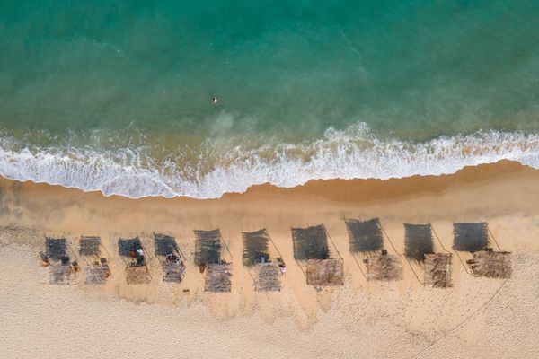
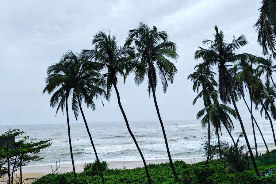
On much of the peninsular coast the daily range is modest, so the waterline moves relatively little and a beach behaves in the way a visitor assumes it will. That is one reason the well-known beach destinations in India cluster where they do, quite apart from the weather and the scenery.
Even a small tide changes things worth noticing. Low water exposes rock pools, reveals firm sand for walking and uncovers reef flats where they exist; high water covers the same ground and pushes everyone up towards the trees. The difference between an empty beach and a crowded one is sometimes just the state of the tide.
Surf and swimming conditions also shift over a tidal cycle, since the depth over a sand bar changes and the currents around it change with it. That interacts with rip currents in ways that are locally specific, which is why local advice about which hours are safe on a particular beach is worth more than any general rule.
Estuaries amplify everything
Where a river meets the sea, the tide runs upstream, and in a shallow estuary it can travel a surprising distance inland. The flow in the lower river then reverses twice a day, which is why boats on some Indian tidal rivers wait for the flood to go up and the ebb to come down.
That interaction is also where salt intrudes. In the dry season, when river flow is low, salt water pushes further upstream than it does in the monsoon, which affects irrigation, drinking water and the ecology of the lower reaches. It is a recurring management problem on several Indian estuaries.
For a traveller, the visible version is simply that ferry crossings, boat trips and even the appearance of a riverside town change substantially between the two states of the tide. A jetty that looks absurdly high in the morning makes sense by evening.
Reading the tide before you go
Tide predictions for Indian ports are published by the national hydrographic authority and are widely reproduced, and they are worth a look before any trip involving mudflats, estuaries, reef walking or small boats. The times shift by roughly an hour each day, so yesterday’s pattern is a poor guide to today’s.
The other variable is the fortnightly cycle. Around new and full moon the range is at its largest, and around the quarters it is at its smallest, which means the same beach can show a very different amount of sand depending on which week you happen to be there.
None of this needs to become an obsession. But if the plan involves walking out onto a flat, crossing a creek or getting a small boat somewhere shallow, checking the tide takes two minutes and occasionally saves the entire day.
Common questions
Where does India have the biggest tides?
In the gulfs of the northwest, where the shape of the embayment concentrates the tidal wave as it moves towards the head. Much of the open peninsular coast has a considerably smaller range, which is why the beaches there behave so differently.
Is it safe to walk out on tidal mudflats?
Not without local guidance. Soft ground, hidden creeks and a flood tide that can move across a flat faster than you can walk back are a serious combination, and the risk is greatest in exactly the wide, shallow places that look most inviting at low water.
How do I find tide times for an Indian port?
Predictions are issued by the national hydrographic office and reproduced in various apps and almanacs. Use a source tied to a named port near where you are, since times and ranges differ along a coast, and remember the timings shift by about an hour each day.
Contributing editor, Traveology
Nadia writes about states, hills, coast & islands, mostly the parts other people skip and prefers a plain explanation to a clever one.