Coast & Islands
The west coast railway was hard to build because every river reaches the sea there
A narrow strip between the escarpment and the Arabian Sea is crossed by dozens of short, steep rivers and soft laterite ridges, which is why the line took so long and still suffers in the rains.
By Sofia Almeida3 min read
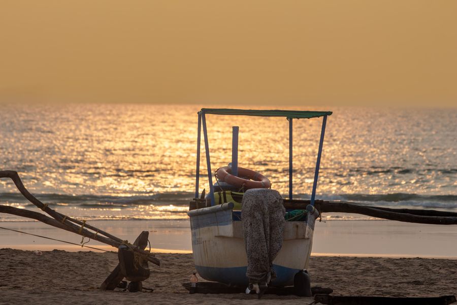
A narrow strip cut by short, steep rivers
The western coastal plain between the Ghats and the sea is not wide, and the escarpment behind it sends a great many short rivers down to the coast over a very small distance. Each of them has cut a valley, and each valley has to be crossed by anything travelling north to south along the strip.
That geometry is the essential problem. A road or a railway running the length of the coast is not travelling across a plain; it is crossing a repeated sequence of ridge, valley, river, ridge, for hundreds of kilometres. Every one of those crossings is a bridge, and every ridge between them is a cutting or a tunnel.
The rivers are short and steep, which means they respond to rain fast. A modest catchment in the Ghats delivers a great deal of water to the coast within hours during a heavy monsoon spell, so these crossings have to be built for flows far larger than the dry-season stream suggests.
Soft ground made the tunnels harder, not easier
Much of the coastal strip is laterite and weathered rock, which is workable but unstable, and in places the line runs through material that behaves less like rock than like compacted soil. Tunnelling in ground of that kind is slower and more dangerous than tunnelling through something solid, because the roof does not hold itself up.
Embankments raised on soft coastal ground settle, and cuttings through weathered material slump when saturated. Both problems tend to appear during and after heavy rain rather than during construction, which is why the early operating years of a line like this involve continuous remedial work.
The engineering answer is drainage, retaining structures and constant inspection, all of which are expensive to maintain in a climate that delivers extremely heavy seasonal rainfall. It is a route that costs money every year, and that cost is part of why it took so long to be built at all.
Monsoon operation is a separate discipline
Railways in this terrain run to a different regime during the rains, with reduced speeds over vulnerable sections, additional patrolling of cuttings and embankments, and equipment positioned in advance to deal with slips. Some of this is visible to passengers as slower running and unexplained halts.
It is a rational response to a real risk. A slip onto the track, a washed-out culvert or a weakened formation are all failures that can happen quickly during a heavy spell, and detecting them before a train arrives is the entire point of monsoon patrolling.
Timetables are adjusted for the season on some routes, and services are occasionally suspended when conditions demand it. Anyone travelling this coast in the wet months should treat published timings as intentions and keep connections generous rather than tight.
What the line did to the coast it runs through
Before the railway, the coastal strip was awkward to move along, and travel between the towns on it was slow, coastal by boat, or a long detour inland. A continuous line changed the accessibility of a string of small towns and beaches that had been effectively remote despite lying close to major cities.
The results are mixed and worth acknowledging. Places that were difficult to reach are now weekend destinations, with the construction, traffic and pressure on water and waste systems that follow. Some villages have gained a livelihood from visitors and some have lost the quality that brought the visitors in the first place.
For a traveller the practical gain is real. Long stretches of this coast are now reachable overnight from large cities, and the journey itself, running between the sea on one side and the escarpment on the other, is among the more scenic mainline rides in the country.
Using the route sensibly
Stations on a line built through difficult terrain are frequently some distance from the towns they are named after, because the alignment went where the engineering allowed rather than where the settlements are. A connecting road transfer of some length is normal and should be planned for rather than discovered on arrival.
Services along the coast are heavily used, particularly around festivals when large numbers of people travel home to coastal districts, and seats in those weeks go extremely early. That is an entirely predictable annual squeeze, and it catches out people who book late.
The dry season is straightforward. The monsoon offers a genuinely spectacular ride through green country with full rivers and low cloud on the escarpment, at the cost of slower running and a higher chance of disruption. That is a fair trade for anyone with time in hand.
Common questions
Is the coastal line worth taking for the scenery?
Yes. The alignment runs close to the escarpment on one side and near the sea in places, crossing river valleys on high bridges, and the daylight sections are among the more interesting mainline stretches in India. A window seat matters more than the class.
Is monsoon travel on this route risky?
It is slower and more prone to delay rather than unsafe, because the operating regime in the rains is specifically designed around the risk. Expect reduced speeds, possible suspensions in severe weather, and connections that need more slack than usual.
Why are the stations so far from the towns?
The alignment was dictated by terrain — bridge sites, tunnel lines and buildable ground — rather than by where towns had grown. On a coast cut by dozens of river valleys, the route with the fewest engineering problems frequently runs well inland of the settlements.
Deputy editor, Traveology
Sofia writes the explanatory pieces on states, hills, coast & islands and reads the small print so you do not have to.