Hills
Mountain weather runs on a daily clock and the morning half is the good one
Solar heating drives valley winds and afternoon cloud, which is why flights, views and stream crossings all favour the first hours of the day.
By Leela Fernandes4 min read
The sun sets the schedule in a way it does not on the plains
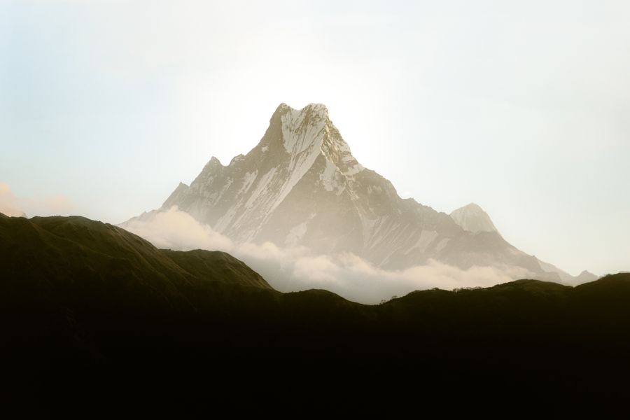
Mountain weather has a strong daily cycle superimposed on the seasonal one, and in settled conditions that cycle is remarkably repeatable: clear and calm at dawn, building through late morning, cloudy and often unstable by mid-afternoon, settling again in the evening. Anyone who has spent a week in a high valley recognises it immediately.
The engine is straightforward. Sunlight warms slopes far more effectively than it warms the free air at the same height, so as the morning progresses the air in contact with the ground heats, becomes buoyant, and begins to rise. That rising air pulls more air up the valley behind it, which is why a wind that was absent at breakfast is reliably blowing up-valley by noon.
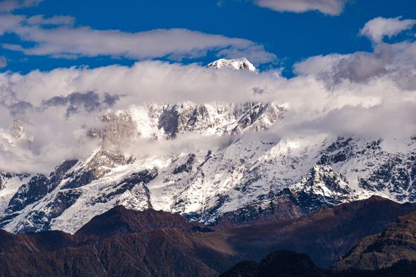
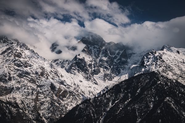
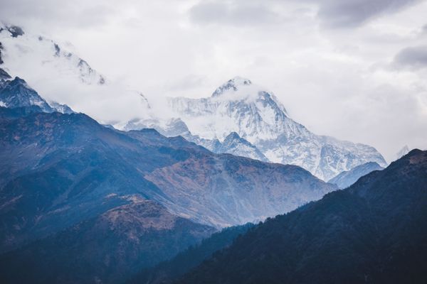
Rising air cools, and if there is enough moisture in it the cooling produces cloud. In dry ranges you get wind and haze; in wetter ones you get towering cloud and, often enough, a thunderstorm. Either way, the clear view you had at seven in the morning is unlikely to still be there at four.
Why mountain flights are morning flights
Airfields in the high valleys operate in the morning and rarely later, and the reason is this same cycle. Approaches into a strip surrounded by high ground depend on visibility and on relatively calm air, and by the middle of the day the wind is up, the turbulence in the valley is significant and cloud has formed on the ridges.
That produces a specific practical risk for travellers. If the weather is poor on a given morning the flight does not simply run later; it is cancelled, because the window has passed. Cancellations therefore tend to cluster and to cascade, with the following day’s seats already sold.
The defensive planning is well known to anyone who has done it more than once. Do not connect a mountain flight tightly to an international departure, keep a day in hand at the end of the trip, and know what the road alternative is and how long it takes — assuming it is even open in that season.
Glacier-fed streams peak in the afternoon
The daily cycle affects water as much as it affects air. A stream fed by snow and ice melt carries the day’s meltwater with a lag of some hours, so it runs lowest in the early morning and highest in the afternoon and early evening. On a hot, clear day the difference is substantial.
For trekkers this is the whole logic behind early starts on routes with unbridged crossings. The same channel that is ankle-deep and easy at seven can be thigh-deep and pushy at three, and there is no way to make it convenient later. Roads with stream crossings behave identically, which is why drivers on high routes want to be past them before lunch.
It also means a river’s appearance tells you when you are looking at it, not simply how much snow there is upstream. A modest flow at dawn is not evidence that the crossing will be modest all day.
Afternoon instability, and what it does to a plan
In the wetter ranges the afternoon build-up frequently ends in a storm, with hail, brief heavy rain and lightning on exposed ridges. It is usually short. It is also the worst possible time to be standing on a high, open pass, which is why walking parties want to be over the top and descending before it develops.
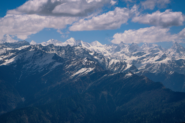
On the drier side the afternoon problem is wind and dust rather than storm. Views wash out, photography becomes disappointing, and open ridge walking gets tiring in a way that has nothing to do with gradient. The morning air in the same place is completely still.
The consequence for an ordinary sightseeing day is simply this: put the thing you actually came to see in the morning. Viewpoints, high passes, aerial rides and open walks all deliver more before noon, and museums, monasteries, markets and long drives are what the afternoon is for.
When the cycle breaks
All of this applies to settled weather. When a large system moves through — a western disturbance in winter, a monsoon surge in summer — the daily rhythm is overridden and conditions can stay poor for days at a time regardless of the hour. Recognising the difference between an afternoon build-up and a weather system arriving is a genuinely useful skill.
The rough distinction is persistence. Cloud that forms mid-morning and dissipates in the evening is the daily cycle. Cloud that is already there at dawn, or that thickens steadily and does not clear overnight, usually means something bigger is passing, and the forecast matters more than the clock.
Mountain forecasting is difficult and local variation is enormous, so treat any prediction as a probability rather than a plan. The daily cycle, on the other hand, is dependable enough to build an itinerary around, and doing so costs nothing but an early alarm.
Common questions
Does this apply outside the Himalaya?
Yes. Any substantial range with sunlit slopes produces up-valley winds and afternoon cloud, so the same pattern shows up in the Western Ghats and the Nilgiris, with different intensity and a shorter build-up. The mechanism is the same everywhere.
Is it worth booking the first flight of the day?
Where a mountain airfield operates several departures, the earliest is usually the least likely to be affected by the day’s build-up. It is not a guarantee, since a bad morning cancels everything, but it is the better of the available odds.
Why do views look hazy even on a clear afternoon?
The same rising air that produces cloud also lifts dust and moisture into the lower atmosphere, which softens distant contrast. Early morning air has had a still night to settle, which is why the distant ranges look sharpest before anyone is properly awake.
Features writer, Traveology
Leela writes about states, hills, coast & islands, mostly the parts other people skip and is happiest when a piece answers the question completely.