Hills
The Himalaya has a wet flank and a dry one, and the monsoon picks between them
The great range takes moisture out of the air as it crosses, which is why some Indian mountain valleys are drenched in July and others a few hours away are cold desert.
By Leela Fernandes4 min read
A mountain range is a machine for removing water from air
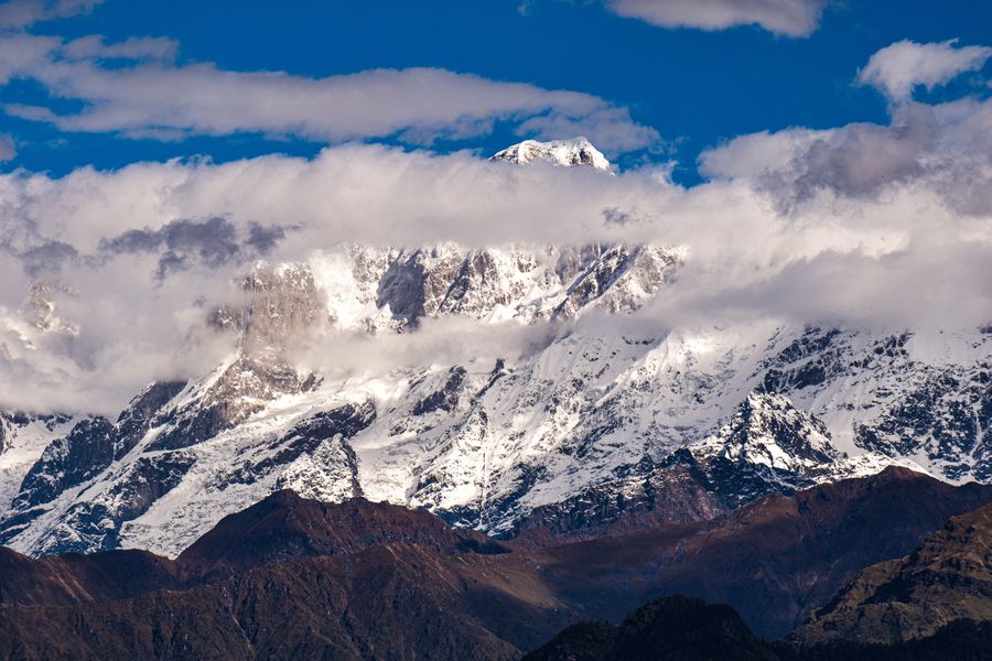
When moist air is pushed against a mountain wall it has nowhere to go but up. Rising air expands and cools, cooling air holds less water vapour, and the excess falls out as rain or snow on the windward slopes. By the time what is left crosses the crest it has been wrung out, and the ground on the far side receives a fraction of the water that fell on the near side.
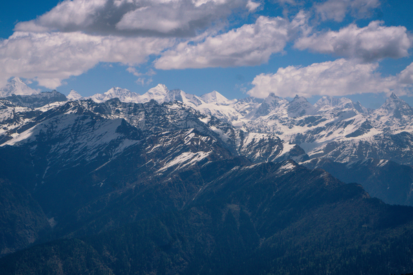
The Himalaya does this at a scale that produces genuinely different climates within short distances. The outer ranges facing the plains — the country around Dharamshala, much of Uttarakhand, the Sikkim hills — catch the summer monsoon in full. Behind them, the inner valleys get progressively less, and beyond the main chain the landscape becomes cold desert.
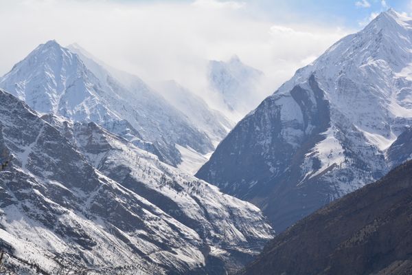
That is what Ladakh, Zanskar, Lahaul and Spiti are: high, arid country that happens to sit in the world’s biggest rain shadow. The absence of trees on those slopes is not altitude alone. It is the lack of water.
This creates the only genuinely monsoon-proof mountain travel in India
For a traveller with July or August available, the trans-Himalayan valleys are the obvious answer, and the reason is straightforward. While the rest of the mountains are in cloud, these are in the driest and warmest part of their year, with the roads open and the high pastures at their best.
It is also the only season they are comfortably accessible at all. These are places that spend a long winter cut off or nearly so, and the summer window is short. Choosing to visit Spiti or Ladakh in the monsoon is not a compromise made because the good months were unavailable; those broadly are the good months.
The catch is that "dry" is a relative term applied to an average, not a promise about a particular week. High deserts do get rain, and when they do the effects are disproportionate, which is the subject of the next section.
The approach road is usually not in the rain shadow
This is the trap that catches most people. The valleys may be dry, but you have to get to them, and the routes in generally climb through exactly the wet country the rain shadow protects them from. A road that follows a river gorge up from the foothills is in the monsoon for its entire lower half.
Those gorge sections are also where the road is most vulnerable. Steep cut slopes, loose material and a river undercutting the base of the whole thing add up to a stretch that closes for hours or occasionally days after heavy rain. The dry destination does not help you when the blockage is two hundred kilometres short of it.
So the honest framing is that the trans-Himalaya is monsoon-proof and its approaches are not. Plan the wet section of the drive with slack, avoid making the crossing on the day before a flight, and treat any published journey time on those roads in August as optimistic.
Rain in a cold desert behaves badly
A bare, steep slope with no vegetation and no soil worth the name cannot absorb water. When an unusually heavy spell arrives over the high valleys — and it does, particularly when a monsoon surge pushes further north than usual — the water runs straight off, picks up loose material, and arrives at the bottom as a flow of mud and rock rather than as a stream.
That is why places which receive very little rain in a year can still suffer serious flash flooding. The total is small; the intensity is what matters, and a catchment with nothing to slow the water down converts a short storm into something destructive in minutes.
The practical reading is not to avoid these areas but to respect the terrain: streambeds and alluvial fans are where the water goes, campsites and parked vehicles should not be in them, and a forecast of heavy rain in a high desert deserves more attention than the same forecast in a wet valley, not less.
Choosing between the two flanks
If your window is the monsoon, go north of the main chain and accept the approach risk. If your window is spring or autumn, the wet flank is at its best — Uttarakhand and the Himachal foothills in October are clear, cool and settled, and the same country in July is under cloud.
Winter separates them again. The outer hills stay accessible with cold nights and clear days, while much of the trans-Himalaya is either closed or reduced to a small number of routes and a very different sort of trip. Some people travel there specifically for that, which is a serious undertaking rather than a variant of the summer visit.
The general point is worth carrying beyond the Himalaya. Wherever there is a substantial ridge in India, the two sides have different weather, and knowing which side you are on explains more about what a month will be like than any national seasonal calendar can.
Common questions
Is Ladakh really dry in the monsoon?
It is far drier than the ranges south of it, and the summer months are its main season. But it is not immune, and heavy events do occur, so the sensible position is to expect dry weather and to have a plan that survives two wet days.
Which is riskier, the road in or the destination?
For most monsoon trips the lower approach is where delays and closures happen, because that is where the rain and the unstable cut slopes are. The high valleys themselves are usually fine, with the exception of localised flash flooding after intense storms.
Does the rain shadow apply to the Western Ghats too?
Yes, and dramatically. The seaward slopes take extraordinary rainfall while the plateau immediately behind them is comparatively dry. The mechanism is identical; the only difference is the scale of the ridge doing the work.
Features writer, Traveology
Leela writes about states, hills, coast & islands, mostly the parts other people skip and is happiest when a piece answers the question completely.