Hills
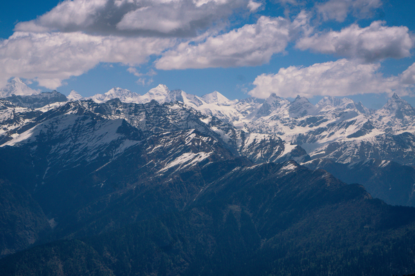
The forest changes about every thousand metres you climb in the Himalaya
Vegetation zones stack up a mountainside in a predictable order, which means the trees outside the window are a reasonably accurate altimeter and a good guide to what the weather will do.
By Nadia Haddad4 min read
Height does to vegetation what latitude does
Temperature falls steadily with altitude, and every plant community has a range of temperature it can tolerate, so climbing a mountain moves you through a sequence of forest types in much the same order you would meet travelling a very long way north.
The Himalaya makes this unusually legible because the climb is so large and so quick. A road can leave subtropical foothills in the morning and reach alpine meadow by evening, passing through four or five distinct forests in between, each with its own dominant trees and its own feel.
The boundaries aren’t sharp lines and they shift with aspect. A south-facing slope is warmer and drier than a north-facing one at the same height, so the same species will sit several hundred metres higher on one side of a valley than on the other, and a road that crosses the river crosses that difference too.
The lower zones are the ones you drive through
The foothill belt carries sal forest in the wetter parts of the range, a tall broad-leaved tree that dominates the lower Himalayan slopes and the plains edge below them. It is a warm-country forest and it gives out fairly quickly as the road climbs.
Above it comes the chir pine, the long-needled pine that covers vast areas of the outer and middle hills. Pine forest is open, dry underfoot, and thin on undergrowth, which is why these slopes look sparse and why they burn so readily in the weeks before the monsoon.
In several districts these pine slopes were extended deliberately, because the tree grows fast on poor ground and yields resin, so their present extent is partly a management decision rather than a natural distribution. Higher again, and especially on damper aspects, oak and rhododendron take over. This is the belt most hill villages sit in, because it holds water, provides fodder and fuel, and supports the springs that the villages are built around.
The high forest is conifer, and the trees get older
Deodar, spruce and fir occupy the upper forest, with deodar favouring the drier western ranges and fir the wetter and higher ground. These are the cathedral forests of the Himalaya: tall, dark, cool even at midday, and often centuries old where they have escaped cutting.
Right at the top of the tree line, birch takes over — a small, pale-barked tree that forms a scrubby fringe where nothing larger can survive. Meeting birch on a trek is a reliable signal that the tree line is close and that the meadows begin above.
Rhododendron reappears at this height as a low shrub rather than a tree, and it is the thing that turns high slopes red and pink in the spring weeks. That flowering moves up the mountain as the season advances, so its altitude tells you roughly how far the spring has climbed.
Above the trees the ground is seasonal
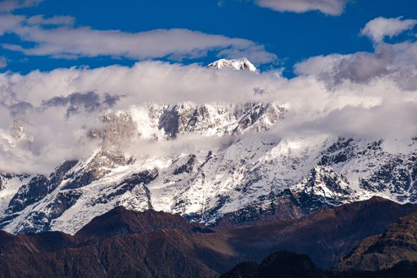
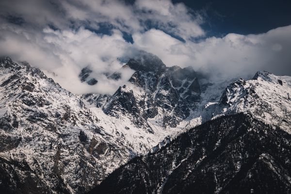
Beyond the tree line the alpine zone begins: meadow, cushion plants, rock and, higher still, permanent snow. This ground is under snow for a substantial part of the year and is green for a short and intense season, which is when the flowering happens all at once.
The dry inner valleys behave differently. In the rain shadow behind the main range the forest belts thin out or disappear entirely, and a traveller can go from irrigated poplars and willows beside a village straight to bare rock with no forest between them at all.
That contrast is one of the more startling things about crossing the range. On one side, dense fir and oak with mist in it; a pass later, a landscape with no trees except the ones somebody planted along a channel.
Using the sequence while travelling
The practical value is that vegetation tells you where you are in a way a road sign does not. If you are walking in oak and rhododendron, you are in the belt where villages, water and shelter exist. If you are in birch, you are near the limit of firewood and near the meadows.
It also predicts weather and comfort. Pine belts are dry, warm and dusty; oak belts are damp and often cloudy; conifer belts above them are cold at night in any month. Packing for a hill trip is easier if you think about which forest you will be sleeping in rather than which town, because the zone predicts the night far better than the map does.
And it explains the fire season. Pine needles are resinous and shed a thick flammable layer, so the outer hills carry a real fire risk in the dry pre-monsoon weeks, with smoke that can flatten the views for days. That’s a normal feature of those months, not an emergency, though the fires themselves sometimes are.
Common questions
Do these zones hold across the whole Himalaya?
The order does; the altitudes do not. Everything sits higher in the drier west and lower in the wetter east, and the eastern hills carry species the western ones never see. Treat the sequence as a pattern and the specific heights as local.
When is the rhododendron flowering?
It runs through the spring and climbs the mountain as the season warms, so a slope that has finished at one altitude may be at its peak a few hundred metres above. Ask locally about the current height of the flowering rather than about the month.
Why are some hillsides completely bare?
Several reasons overlap. Some are naturally above the tree line, some are in a rain shadow that never supported forest, and some were cleared for grazing or terracing long ago and are held open by continued use. From a distance the three look identical, which is exactly why open ground gets misread.
Contributing editor, Traveology
Nadia writes about states, hills, coast & islands, mostly the parts other people skip and prefers a plain explanation to a clever one.