Hills
The Western Ghats are a wall, and every road across them is called a ghat for a reason
A long escarpment separating a narrow coast from a high plateau means only a limited number of climbing routes exist, and those passes have concentrated traffic, trade and towns for centuries.
By Manish Trivedi4 min read
One long edge with a limited number of ways up
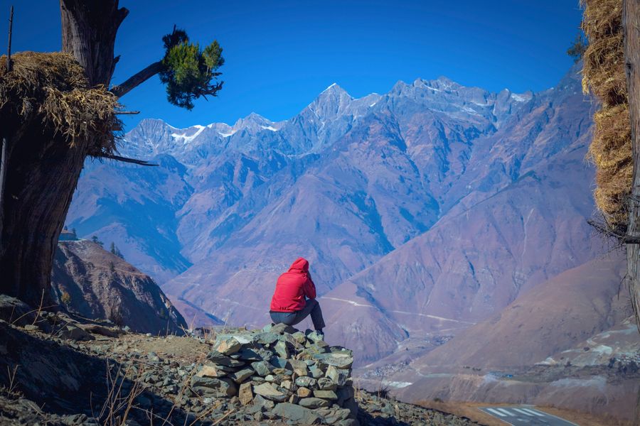
The Western Ghats run for well over a thousand kilometres down the western side of peninsular India, close to the sea for most of that length, presenting a steep face towards the coast and sloping away gently inland. They are less a mountain range in the Himalayan sense than the broken edge of a raised plateau.
Their significance for travel comes from that shape. A steep, more or less continuous escarpment allows only a limited number of practical climbing routes, and those routes have been in use for a very long time, because a line that works for a bullock cart tends also to work for a road and often for a railway.
The word ghat covers both the pass and the road that uses it, which is why so many climbing roads in the region carry a name ending in that syllable. When somebody says a journey involves a ghat section, they mean a specific stretch of tight, sustained climbing rather than hills in general.
The escarpment split the country into two economies
A narrow coastal strip on one side and a large dry plateau on the other have never been the same place. The coast is wet, densely settled, oriented towards the sea and historically towards maritime trade. The plateau is drier, more open and looks inland. The wall between them has always mediated everything moving in either direction.
The passes were consequently valuable, and forts sit on a great many of them because whoever held the pass controlled the trade using it. That history is why a modern drive up a ghat road so often runs beneath an old fortification on a spur above, positioned exactly where it can see the road.
The same logic applied when railways were built. Getting a line from a coastal port up onto the plateau was among the harder engineering problems of the period, and the routes chosen then still carry a large share of traffic today because the alternatives were rejected for good reasons that have not changed.
A ghat road is slow in a specific and predictable way
Climbing routes here have tight hairpins, sustained gradients and limited overtaking, and they carry heavy goods traffic because there is nowhere else for it to go. The result is that speed is set by the slowest lorry on the section, and once you are behind one on a two-lane climb your options are limited to patience.
Rain compounds it. Water sheeting across a road surface, poor visibility in cloud and the occasional slip of material onto the carriageway all belong to the monsoon on this escarpment, and closures during heavy spells are routine rather than exceptional. Traffic then diverts to the next pass, which becomes congested in turn.
For planning, the honest approach is to treat any ghat section as its own leg of a journey with its own time allowance, rather than averaging it into a total distance. A hundred kilometres including a serious climb has almost nothing in common with a hundred kilometres on the plateau.
The rain divide is abrupt and it is visible from the car
Because the escarpment forces moist air upward, the seaward face takes very heavy monsoon rainfall while the country a short distance inland gets much less. The transition is often startlingly quick, and on a drive across the crest you can watch dense wet forest give way to open, thinner country within a few kilometres.
That divide has produced a remarkably rich band of forest along the wet face, with a great many species found nowhere else, and it is why so much of the range carries protected status of one kind or another. It also means several of the crossing roads pass through reserves, with restrictions attached.
Those restrictions commonly include night closures on roads through protected forest, speed limits enforced for the benefit of wildlife, and prohibitions on stopping in certain stretches. They vary by state and by reserve, they change, and they are worth checking before assuming a late crossing is possible.
Where the escarpment breaks, everything funnels through
There is one substantial gap in the range in the far south, a low corridor between hill blocks that has functioned as the main land route between the west coast and the eastern plains for as long as there has been traffic. Wind blows through it, trade went through it, and roads and railway follow it now.
Gaps of that kind are geographically fortunate and practically congested, and the towns at either end grew because of it. The pattern repeats at smaller scale all along the range: wherever the wall is lower or a river has cut back into it, a route exists and a town sits at the bottom of it.
For anyone planning a crossing, the useful question is not the distance between two places on opposite sides but which gap the route uses and what condition it is in. That is where the time goes, and in the wet season it is where the uncertainty is.
Common questions
Why do so many roads have "ghat" in the name?
The word is used for both a stepped descent and the climbing road that negotiates one, so a road crossing the escarpment naturally acquires it. When a driver refers to the ghat section, they mean the sustained hairpin climb specifically, not the hilly country in general.
Are ghat roads dangerous?
They demand attention rather than being inherently dangerous. The recurring problems are overtaking on blind bends, heavy vehicles losing speed on climbs and brakes overheating on long descents, all of which are worse in rain and cloud. Travelling these sections in daylight removes most of the difficulty.
Do the passes close in the monsoon?
Individual sections close after landslides and during severe weather, sometimes for hours and occasionally for much longer. It is a normal feature of the season rather than a rare event, so a wet-season itinerary crossing the range should have an alternative route and some slack in it.
Consumer editor, Traveology
Manish covers states, hills, coast & islands and the questions readers actually send in and reads the small print so you do not have to.